
Severe thunderstorm threat resumes Sunday for tri-state area
NEW YORK — New York City and the surrounding tri-state area are once again facing the threat of severe thunderstorms this weekend, as temperatures are expected to climb into the 90s.
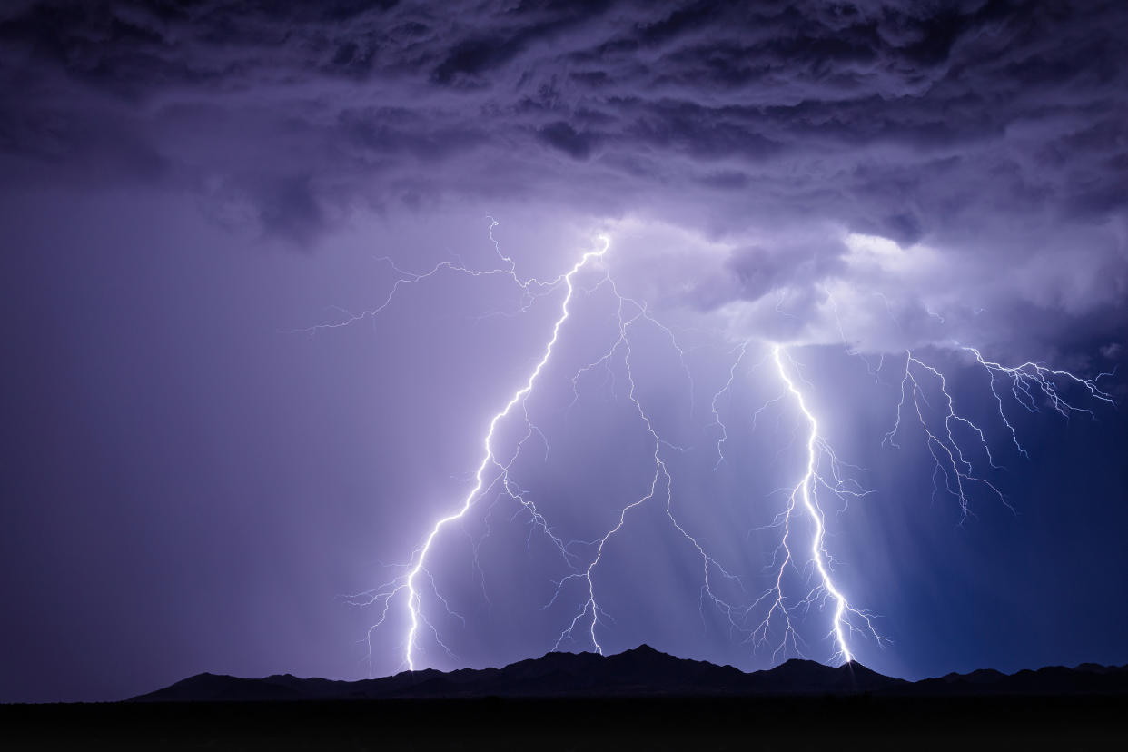
The National Weather Service reported that “strong to severe” thunderstorms could hit the city in the late afternoon and evening on Sunday, with damaging winds being the primary threat.
Showers are expected between 2 p.m. and 10 p.m., and could bring “flash flooding and localized damaging wind gusts,” said AccuWeather.
Saturday night could also bring some storms with heavy rain, but they are not expected to be severe.
In New Jersey, almost the whole state is reportedly at risk for flash flooding on Sunday, although the risk is labeled “low,” according to News 12 New Jersey. There’s also the rare possibility of tornadoes, with the storms and powerful winds.
For Connecticut, the temperatures are also expected to be hot and humid, climbing into the low 90s on Sunday and bringing a level 2 out of 5 risk of severe weather on Sunday.
The forecast comes as thousands throughout the tri-state were reportedly left without power on Friday afternoon, following intense thunderstorms Wednesday night.
More than 2,500 people in New York State were still in the dark as of Saturday afternoon, and more than 2,100 New Jersey residents also found themselves still without electricity on Saturday, according to PowerOutage.us.
In Connecticut, more than 1,000 people were still without power as of 6:30 p.m. Saturday.
Looking ahead to next week, temperatures in the region are expected to be in the 80s, with clear skies until the more rainfall the following weekend.

