
Snow forecast eases, but it's still going to be a mess
P.E.I. has managed to avoid a snowfall warning with a spring storm coming to the Island Thursday, but that doesn't mean it's going to be pleasant.
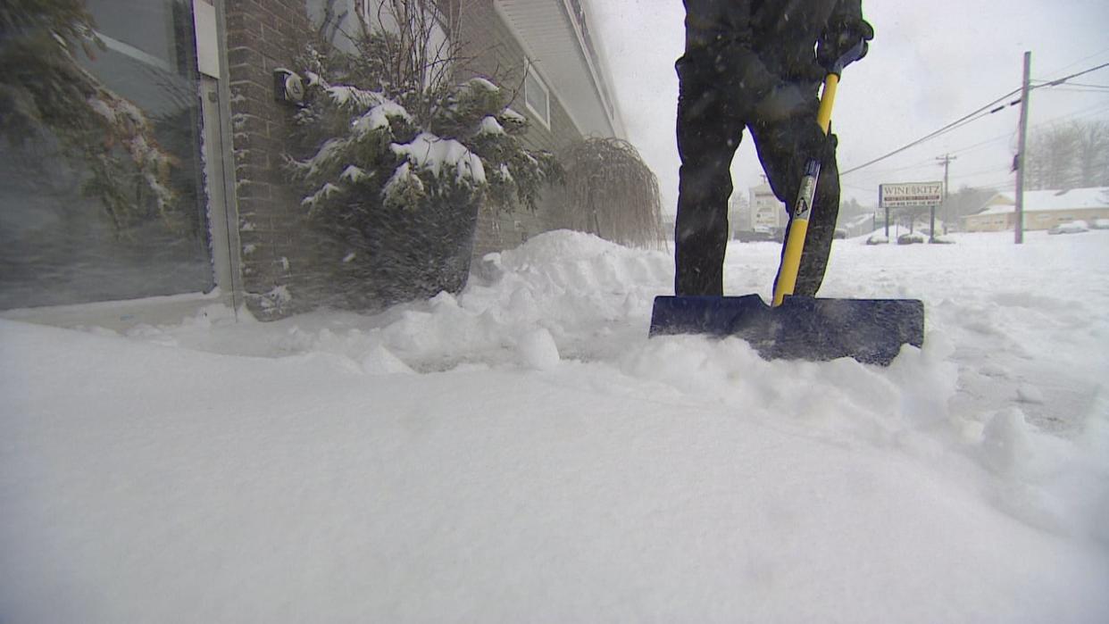
"It's going to be a sloppy mess, whatever it is, the snowfall totals," said CBC meteorologist Tina Simpkin.
"It's going to be that wet, heavy snow that's hard to move."
A special weather statement from Environment Canada remains in effect.
With temperatures staying above freezing overnight Thursday, the snow is going to be mixed in with rain.
Precipitation will start to fall as snow mid-afternoon Thursday, said Simpkin. Rain will begin to mix in. She expects two to five centimetres of snow mixed with two to five millimetres of rain during the day.
With falling temperatures the precipitation will lean more toward snow overnight, particularly in inland areas. Those colder spots could see another five to 10 centimetres of snow, with other areas getting closer to five.
Again, there will be rain mixed in, so Islanders will wake up to a heavy layer of white.
Strong winds through Friday morning
The wind could also be an issue.
"The gusts are going to be significant tonight, 40 gusting up to 70 kilometres per hour. It's going to be windy overnight tonight as well as through the day on Friday," said Simpkin.
That combination of heavy snow and high winds could lead to power outages, says Environment Canada.
The precipitation will continue into Friday, with another two to five centimetres of snow possible. It should change over to showers in the afternoon with highs reaching 5 C.
Flurries and showers will continue through the weekend, but the forecast remains favourable for the eclipse Monday, with a mix of sun and cloud.

